Extreme weather phenomena in Romania
Extreme heat, strong wind, and storms—this is what July 2017 looks like in Romania.

Daniela Budu, 24.07.2017, 12:43
Over the past few days, the west, south and south-east of Romania have been subject to a code yellow extreme heat alert. Temperatures reached as much as 38 degrees Celsius, with high thermal discomfort. On the other hand, the hill and mountain areas, as well as the north-eastern part of the country, have been affected by severe instability, especially in the afternoon and at night.
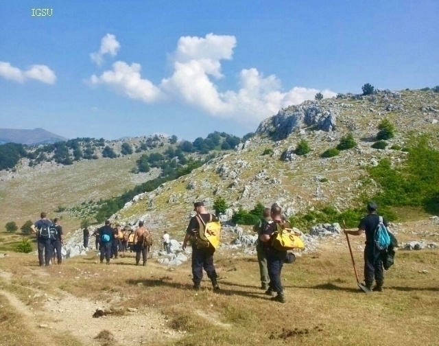
Heavy storms were reported on Sunday in several parts of the country. At least one person died and several others were injured after strong winds brought down trees at a camping site in Bulz, Bihor County, in the north-west. Scores of military firefighters took part in searches for the victims and 11 emergency response teams were sent to the site. The code red intervention plan was active for several hours. Heavy rainfalls brought boulders, tree trunks and branches, and mud down to several national roads in the south-east and the centre of the country, where road traffic was suspended for several hours.
As of Tuesday, considerable instability is again expected in the mountains. Teodora Cumpanasu, of the National Meteorology Agency, gave us more details:
Teodora Cumpanasu: “Tuesday brings a substantial change in the weather and temperatures in many parts of the country, in the sense that temperatures will go down significantly, particularly in the west, where the reading will not go beyond 24-25 degrees Celsius on Tuesday afternoon. The weather remains very hot only in the south-east, including in the capital city, with temperatures perhaps reaching 35-36 degrees in Baragan and the Danube plains. This part of the country will also be, for the time being, safe from atmospheric instability, because in the rest of the regions we expect extensive rainfalls, thunderstorms, strong wind, and in some areas even hailstorms and heavy rain, above 20-25 litres per square metre.
For the coming period, weather experts announce draught in most of the country. The Danube flow is nearly half the multiannual average for mid-July, and the trend is likely to stay in place in the coming days as well, reads a forecast issued by the National Hydrology Institute. Experts warn however that water flow increases may be reported in the next few days, for some small rivers in the north, west and centre of the country, as a result of the rainfalls expected this week.
(translated by: Ana-Maria Popescu)


